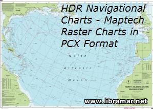
HDR NAVIGATIONAL CHARTS — MAPTECH RASTER CHARTS IN PCX FORMAT

| Format | pcx |
| Size | 236 Mb |
| D O W N L O A D | |
The set offered to your attention comprises of the navigational charts which have been developed for the following three geographic areas - Atlantic General, Belgium & Holland, and Portugal.
These are Maptech raster charts made in PCX-based format. These navigation charts are expected to be of some use for mariners navigating intending to perform voyages to the above stated areas. They may also be used for training and educational purposes by future mariners. The format of the charts is pcx.
Save them in case you need when navigating in the above mentioned areas, as a reserve source of info.
The "Read Later" function allows you to add material to this block with just one click. Just click on the icon and read the articles that interest you at any convenient time.


